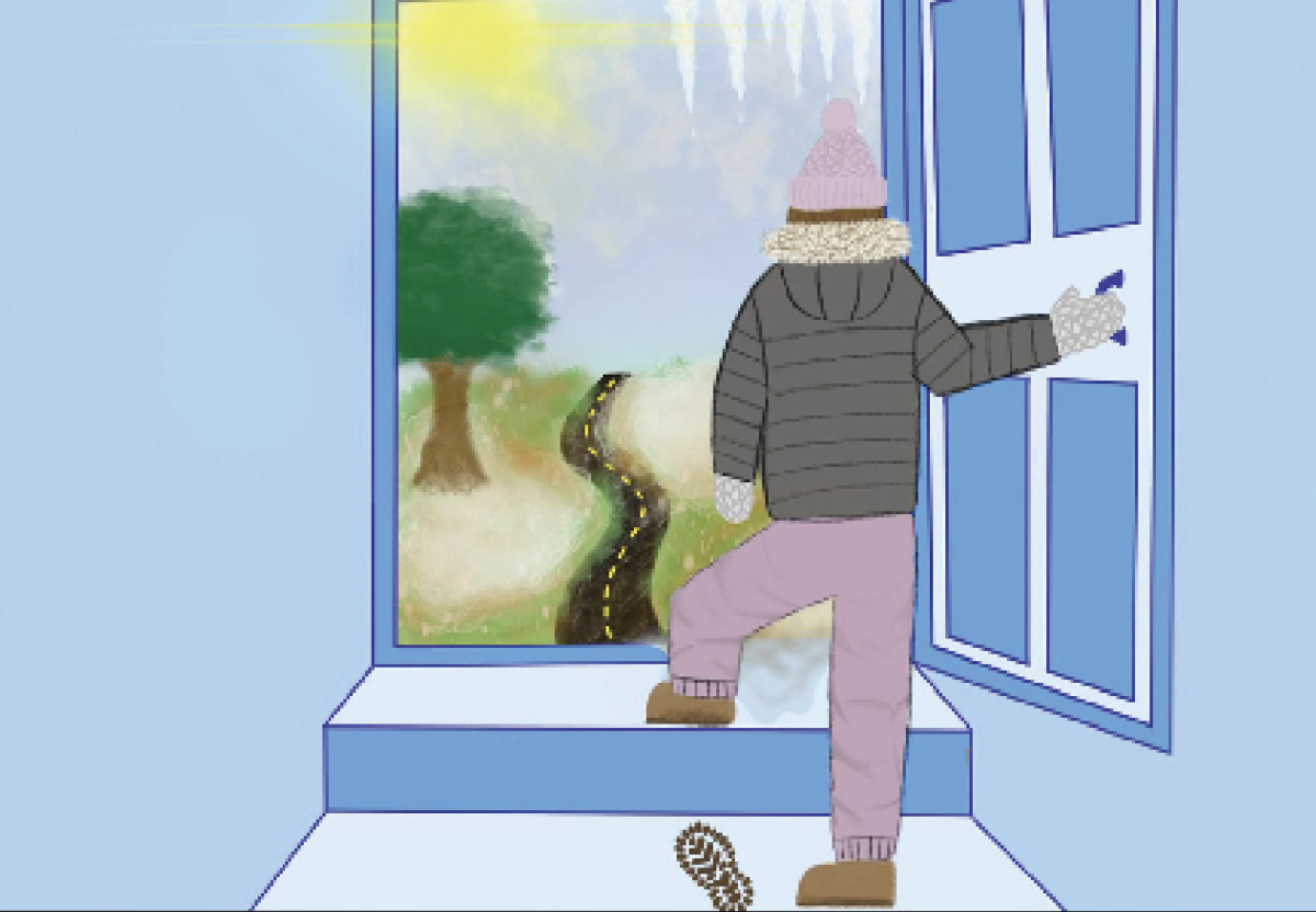
The weather phenomenon El Niño is forecasted to cause warmer temperatures and drier conditions this winter.
“On average, when we look at the statistics of what happens when you have an El Niño, it tends to result in a southward shift of the jet stream,” said Steve Yeager, project scientist at the National Center for Atmospheric Research. “And when that happens, you will have warmer and drier conditions throughout much of the northern U.S., and I think that would encompass Chicago. So what you might expect for Chicago is a warmer and drier winter than normal, and the reverse is true in the southern U.S.”
An El Niño generally takes place every three to seven years and has nationwide effects that vary based on region.
Chicago can still have storms as independent systems unrelated to El Niño, Yeager said.
“If I say that Chicago might tend to be warm and dry, I don’t mean that there will be no storms or winter storms that come through,” said Yeager. “There could be, there might be fewer than usual. But it would mean that if one does come through, it might have more moisture in it because the atmosphere is warmer, and you might get stronger precipitation events of snowfall, rainfall in the spring.”
According to Illinois State Climatologist Trent Ford, he has been determining the strength of an El Niño using the Oceanic Niño Index, a widely used measurement system that tracks the sea surface temperature.
This year, meteorologists forecast an increase of two degrees Celsius, or 3.6 degrees Fahrenheit, above a normal winter on the Oceanic Niño Index. This means meteorologists predict a very strong El Niño.
“If it’s, let’s say above a half degree Celsius warmer than normal, then it’s an El Niño,” said Ford. “If it’s one degree above normal, then it’s a moderate El Niño, if it’s above one-and-a-half degrees, a strong El Niño.”
An El Niño takes place at the equator when the Pacific Ocean is warmer than usual.
In the tropical Pacific, there is interaction happening between the ocean and the atmosphere that amplifies the abnormal weather, and when there is a system like that, then there can be dramatic movements,Yeager said.
While meteorologists have confidence in their predictions of El Niño, nothing is for certain, Yeager said.
“Forecasting is an inexact science, [and] we could’ve gotten this wrong,” said Yeager. “And so people should just stay tuned to the latest forecasts that are gonna be coming out this fall, and as we get closer to December, those forecasts will get more and more accurate.”


